Safety is our top priority, and we take immense pride in having individuals like Lorna Hicks advocate for the well-being of our team members. Discover her journey and how her tenure of over 12 years at SAM has played a pivotal role in strengthening our safety initiatives, positioning our crews for success.
SAM Life Series: Michael Medina Testimonial
February 14, 2024
Michael Medina has been a SAM team member for over 10 years – now that’s relationship goals. His tenure is a testament to the enduring strength of our team dynamics. We are grateful for the invaluable contributions you’ve made, shaping our culture into what it is today. Here’s to many more years of shared success.
SAM Life Series: Daniel LeTexier Testimonial
January 11, 2024
Where collaboration, advanced technology, and career growth blend to create successful opportunities for our team – this is the SAM standard. Daniel LeTexier brings to life the SAM experience by reflecting on his career over the years.
SAM Life Series: Avery Lloyd Testimonial
December 1, 2023
While Veterans Day has come and gone, our military programs and support are here to stay. Join Avery Lloyd as she reflects on her remarkable 20-year journey in the Air Force and her continued success at SAM.
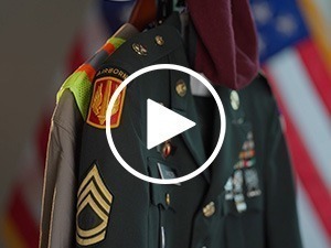
How We Support Our Heroes
November 9, 2023
As we honor the incredible men and women who’ve donned the uniform for our country, we invite you to watch our story.
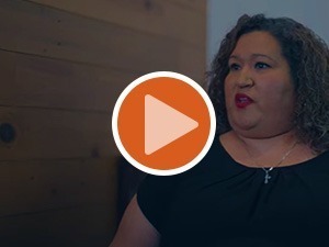
SAM Life Series: Annette Sterling Testimonial
October 26, 2023
Thank you, Annette Sterling, for sharing your story and personal account of the SAM life.
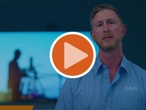
SAM Life Series: Nate Schroer Testimonial
September 14, 2023
Success takes a team. Hear leadership insights from Senior Project Manager Nate Schroer.
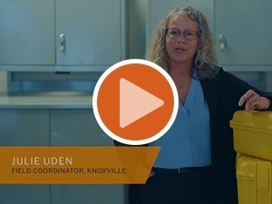
SAM Life Series: Julie Uden Testimonial
July 16, 2023
Julie Uden, Field Crew Coordinator, returned to SAM after taking some time away. We are incredibly fortunate to have her back on the team! Discover what brought her back and where her career stands today.
SAM Life Series: Andy Wesley Testimonial
June 15, 2023
We recognize our responsibility to mentor and train others. “The rising tide raises all ships.” As an Operations Manager with 15 years under his belt, Andy Wesley recalls this value to be true in his own experience with SAM.
SAM Life Series: Michael Wine Testimonial
May 10, 2023
Utility Engineering projects have the power to transform communities. Want to know what making an impact at SAM looks like? Just ask Michael Wine – he’s got it down to a tee.
SAM Life Series: Zach Smith Testimonial
April 19, 2023
Since holding multiple positions from both the field and office, Zach Smith saw no cap moving forward. Currently a Phase Manager in Columbus, OH, Zach explains why he continues to see opportunities for upward mobility in his career at SAM.
SAM Life Series: Manny Fernandez Testimonial
March 17, 2023
What began as an internship ten years ago has now prospered into a successful and rising career at SAM. Manny Fernandez describes how his early experience led to priceless knowledge and opportunity.
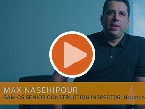
SAM Life Series: Max Nasehipour Testimonial
February 17, 2023
We position our employees for success. Max Nasehipour, SAM Senior Construction Inspector, explains how mentorship and hands-on training helped him transform his career goals into compelling opportunities.
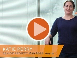
SAM Life Series: Katie Perry Testimonial
January 16, 2023
We encourage internal growth at SAM, and our team leaders will help you achieve that. Senior Project Manager, Katie Perry, discusses how her career development evolved quickly, leading to plentiful opportunities…and even friendly jokes along the way.
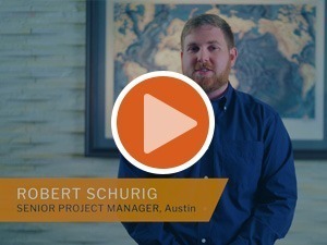
SAM Life Series: Robert Schurig Testimonial
November 16, 2022
Robert Schurig, Senior Project Manager in Austin, TX, shares why career development at SAM is unmatched. Our people-first mentality and mission to train the next generation of leaders will continue to accelerate careers throughout the company.
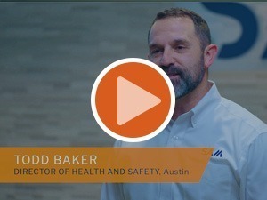
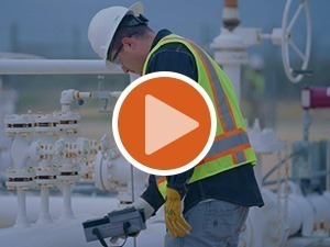
SAM Life Series: Todd Baker Testimonial
October 26, 2022
Every department at SAM is engaged in, and committed to, our safety efforts. Hear from Todd Baker, Director of Health and Safety, about how we’ve continuously leveraged partnership and technology to keep our teams safe.
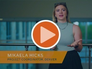
SAM Life Series: Mikaela Hicks Testimonial
November 25, 2022
At SAM, we’re passionate about sharing the knowledge and motivating our teammates along a path of success. Catch a glimpse of how that mentorship propelled Mikaela Hicks’ career forward as a Project Coordinator in Denver, CO.
Innovation Series: GIS Data Deployment/SAM Integrity™
July 30, 2021
Our GIS data deployment services and web-based software, SAM Integrity™, gives our clients a customized solution to access, edit, and maintain their GIS data in a reliable and secure format.
Innovation Series: PIG Tracking
July 21, 2021
SAM developed proprietary mapping technology to track Pipeline Inspection Gauges (PIGs) in real-time to help our clients assess and maintain their pipelines. Our automated software and processes allow our clients to visualize a PIGs location, speed, and estimated time of arrival at downstream locations. Our advanced PIG Tracking technology prevents potential loss or limitation of product and saves our clients thousands of dollars and days of time trying to locate lost or stuck PIGs.
Innovation Series: SAM Field™
July 07, 2021
SAM Field™ is a proprietary application offering a streamlined approach to field data collection through customized dashboards that monitor key parameters on projects. This technology enhances timely and informed decision-making, saving clients time and money.
Innovation Series: SAM Inspect™
June 23, 2021
SAM Inspect™ uses Artificial Intelligence and Machine Learning to assess thousands and even millions of images and streamline infrastructure inspection projects.
For more information about how we integrated AI and ML to streamline maintenance and operation of infrastructure assets, check out our blog,
SAM : The Leader in Geospatial and Inspection Services
June 16, 2021
SAM employs the most advanced technologies across a wide range of services to deliver the highest quality data to infrastructure projects across the country with unrivaled speed and reliability.
Innovation Series: SAM Vantage™
June 9, 2021
SAM Vantage™ is a proprietary technology that fuses LiDAR surface models with 3D subsurface utility data into an interactive, multidimensional format to provide visual context of existing conditions above and below ground.
Join our team
Let’s work together to fuel progress and drive positive infrastructure solutions for the future