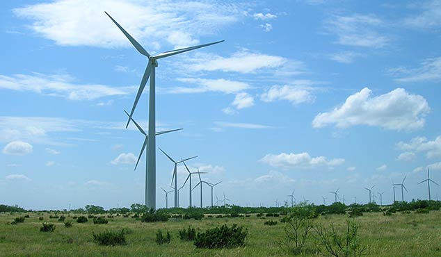
SAM prepared lease status mapping, buildable area mapping, feasibility data collection, assisted in siting of turbines, as well as FAA and communication restrictions and permitting in support of a 30,000 acre wind farm in the Texas Panhandle. Aerial mapping (including both photogrammetry and LiDAR mapping), subdivision platting, topographic survey for design, underground utility locating and mapping, and exhibit preparation for crossing permits, governmental entities, land owner review, and power purchase agreements is in progress. SAM also providde all construction staking and as-built surveys for submittal of final ALTA/ACSM land title surveys for closing documents.


